The new Veloway to Varsity Lakes
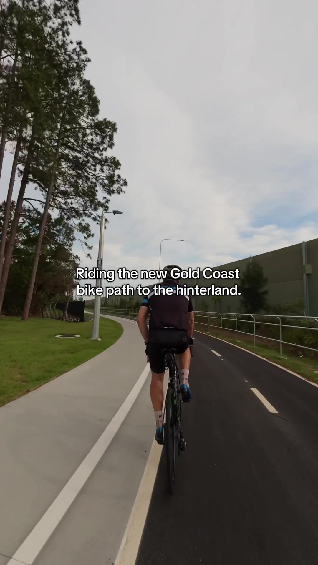
The new Veloway to Varsity Lakes
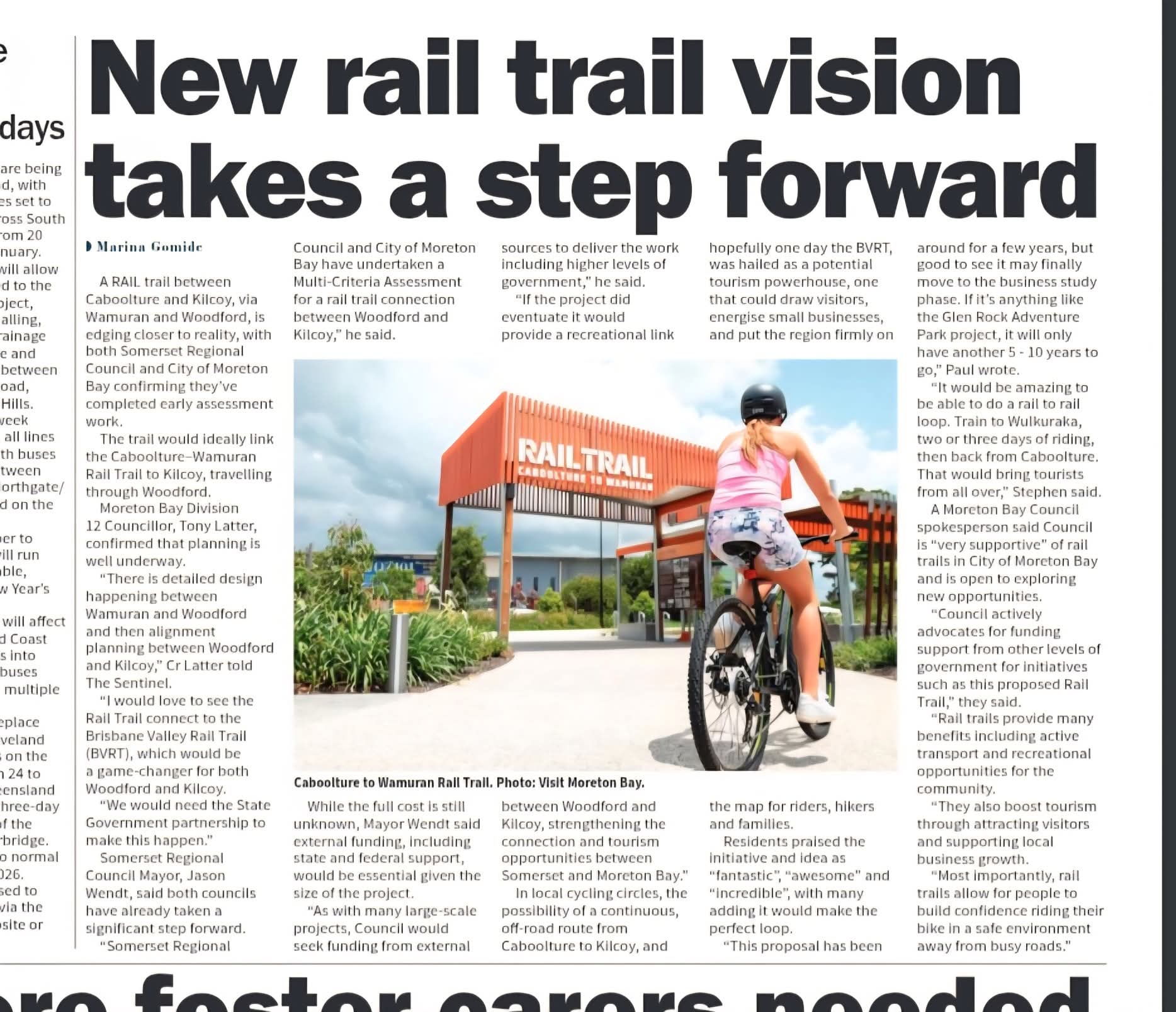
It’s said in the article, but it bears mentioning - the potential link with the Brisbane Valley Rail Trail around where the Brisbane Valley Highway and the D’Aguilar Highway meet would allow for rail-to-rail tourism, which would be a big advantage since bikes can be brought on trains
There is a question of capacity for bikes between Wulkuraka and Caboolture that will need to be looked into, but I think this is a great plan of action
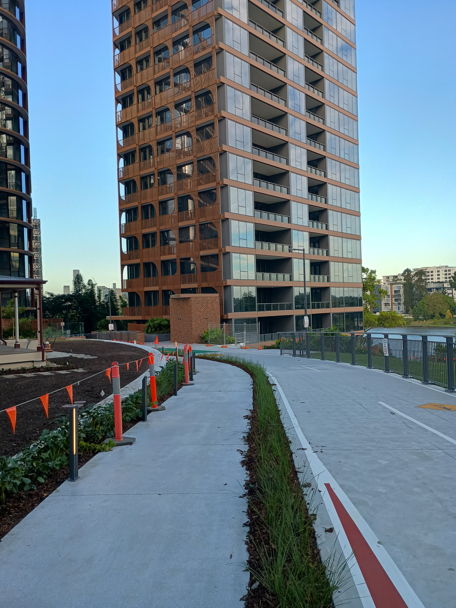
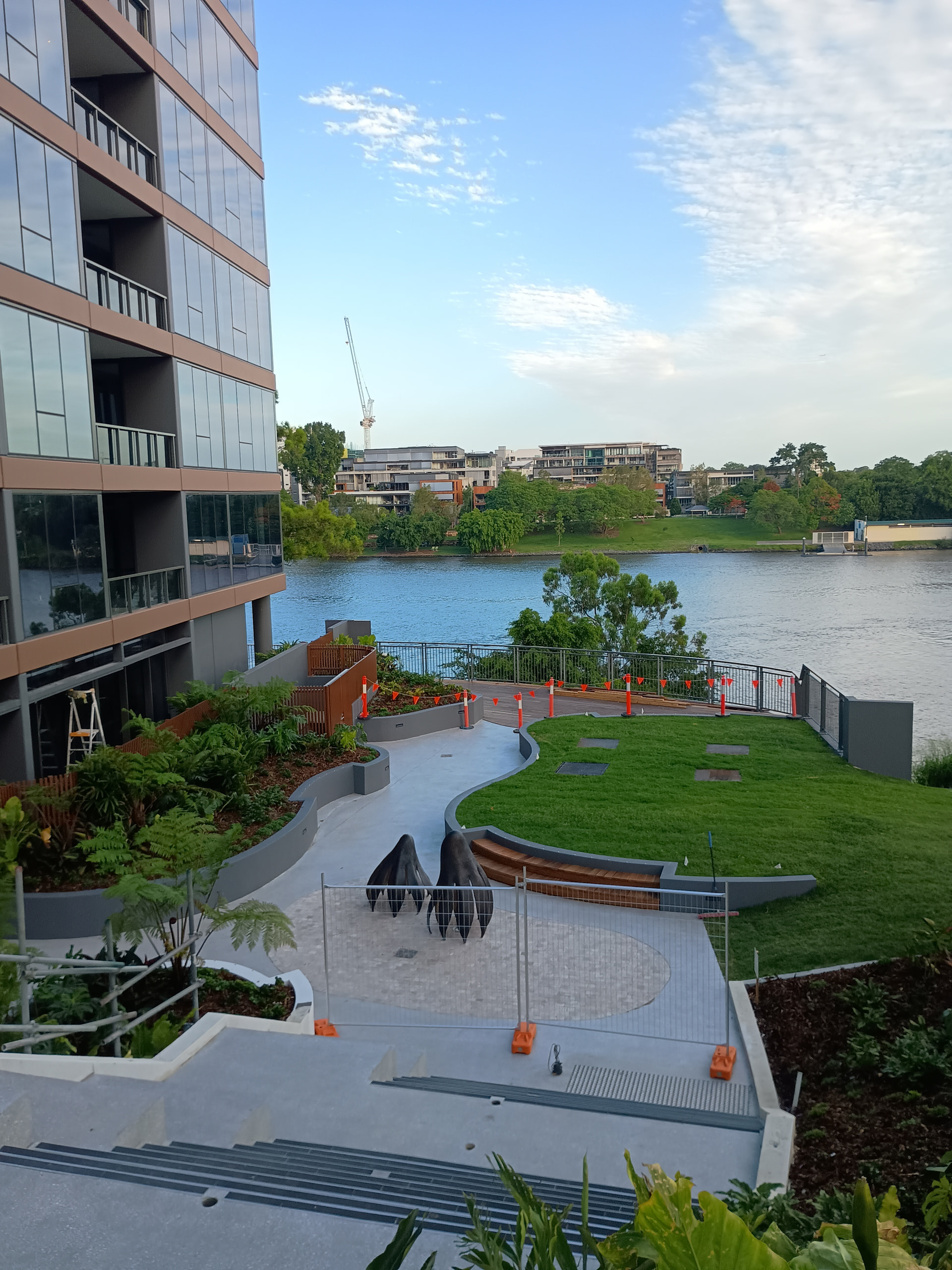
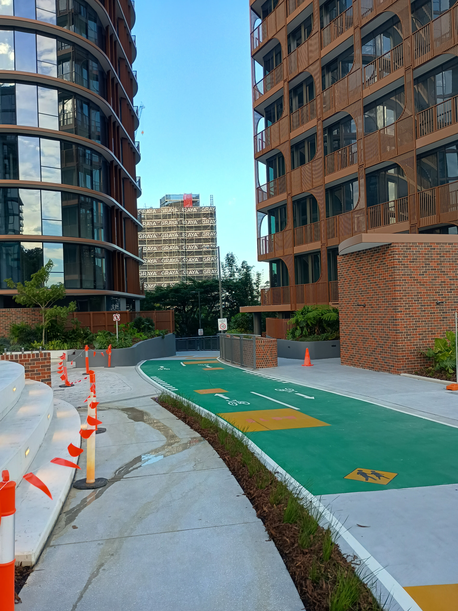
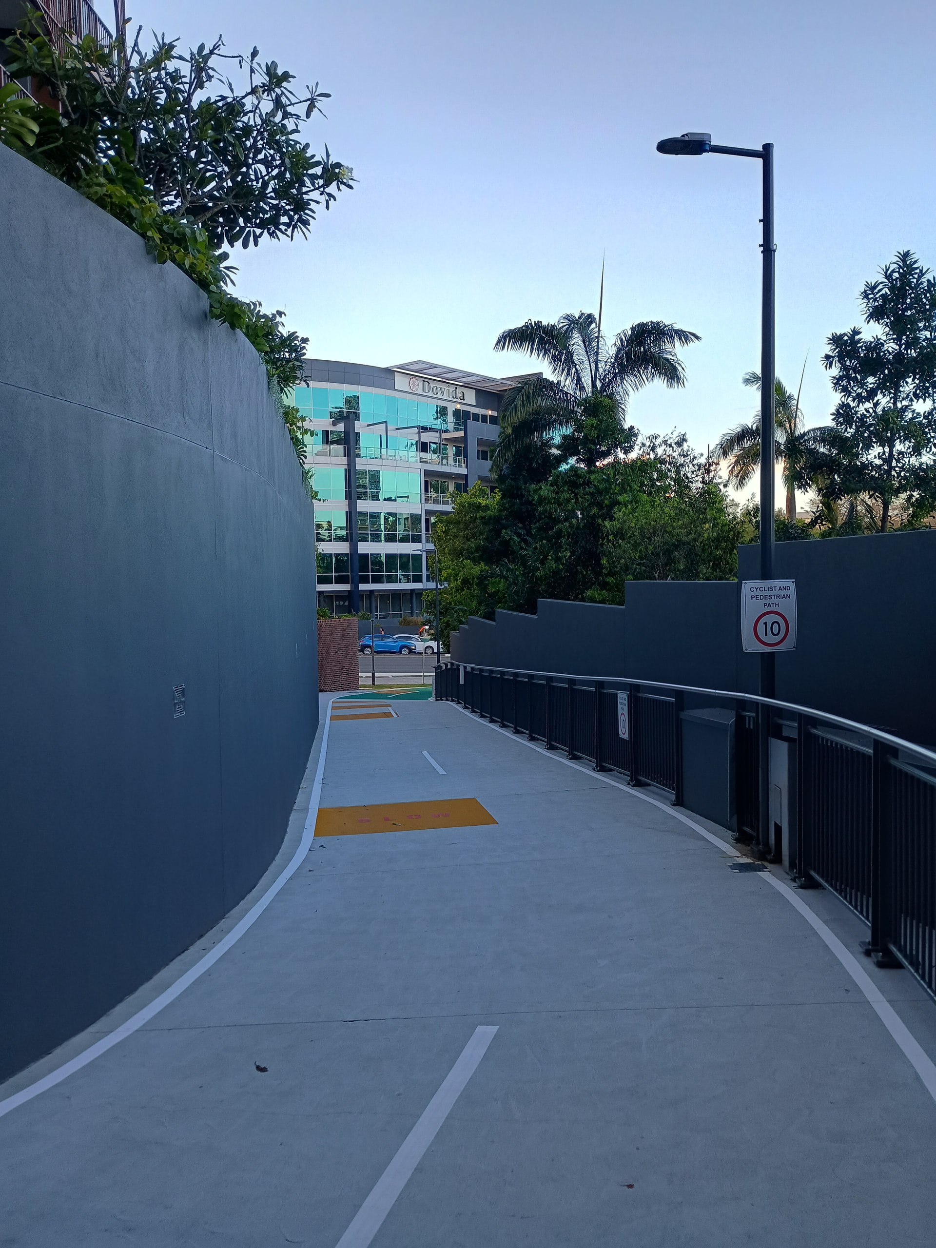
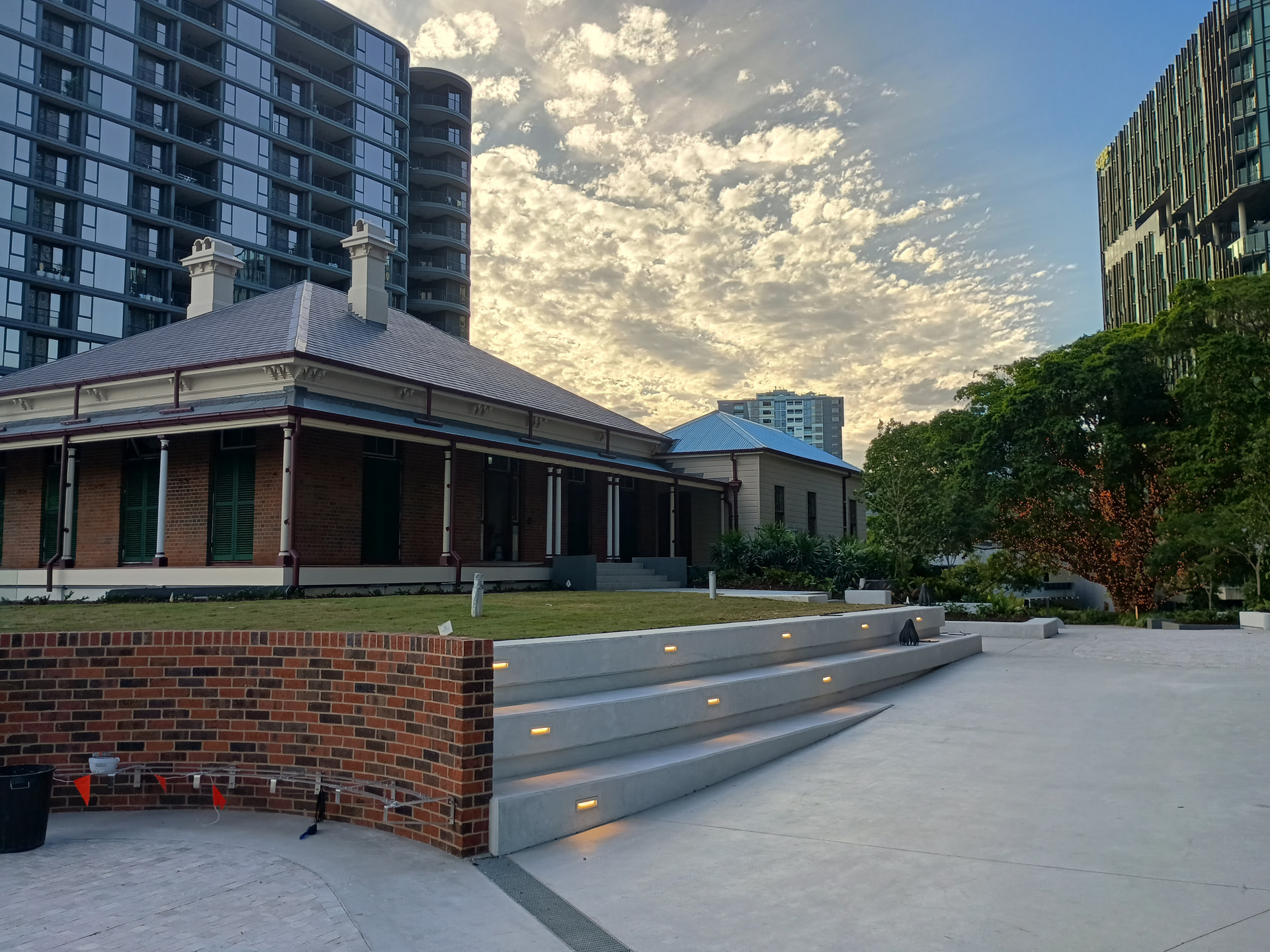
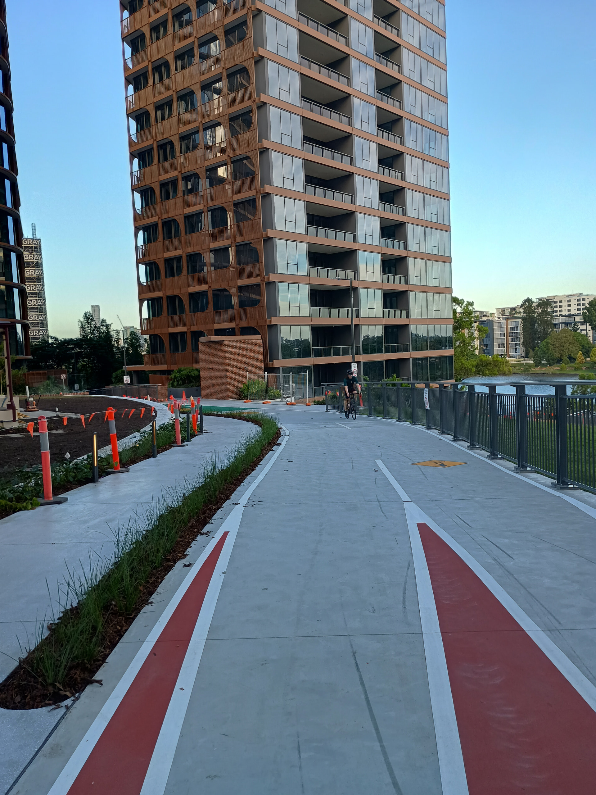
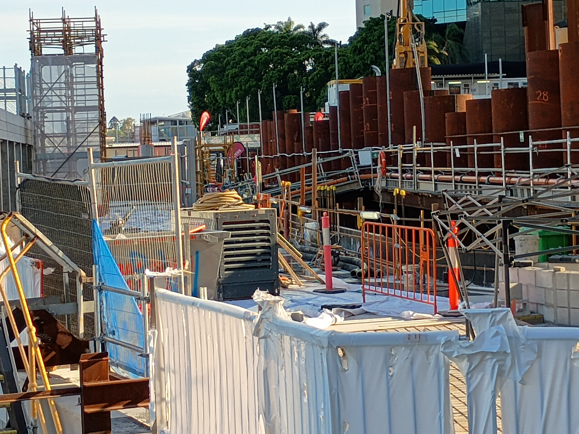
As Dexus Waterfront Place continues to steam ahead, I managed to take a couple of pics last week of the riverwalk pathway progress. I also think this will be open to riders, runners and walkers from April as well.
I’m not sure in the foreground of the pic if these are existing pavers or new pavers to match Riverside’s existing pavers.
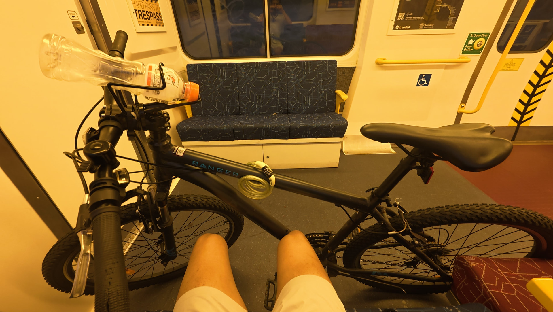
I don’t know how you cyclists cope with this! 
It was my first time bringing my regular sized mountain bike onto the train (SMU220) – and I didn’t realize how much space it’d consume (roughly 4 seats’ worth). 
I was just lucky that I only needed to travel from Oxley to Wacol on a Sunday afternoon..
I’ve heard that the new QTMPs’ should be very accommodating to cyclists though 
No bike racks. Only straps to secure bikes that will still block flip-down seats.
NGR trains are great, bikes fit easily in the disability spots (can use the straps to hold them in place). I’m always prepared to move should someone require the disability space I’m using - but with so many spaces (12 per train), it’s yet to happen.
The older trains are a pain to use.
Space4cyclingbne
https://www.facebook.com/share/p/1DD4uoLfoW/
In Brisbane, most roads (other than motorways) are the responsibility of Brisbane City Council, but a few key arterials are owned and controlled by the state government. Recently at Bicycle Queensland’s end of year celebration, Belinda and Chris took the opportunity to raise 2 of these directly with Transport Minister, Brent Mickelberg MP.
Belinda from East BUG Inc. highlighted the outstanding section of the Moreton Bay Cycleway between the Gateway Bridge and Wynnum. The concept for the Moreton Bay Cycleway is now more than 20 years old, and the three relevant local governments have mostly completed their sections (to varying standards), but there is absolutely no safe infrastructure between Pritchard St and the Gateway at Murarrie. The state government has commissioned multiple studies (including an allowance in the 2024-25 budget for planning the “Moreton Bay Cycleway, Murarrie to Wynnum” and in 2018/19 and 2019/20 for “Lytton Road Cycleway Planning Study - Pritchard Street - Gateway Motorway”), and it was a key deliverable in the Queensland Cycling Action Plan 2020-22. There was even a plan that went to public consultation back in 2007 with the Port of Brisbane Motorway project. But still, decades later, there is no safe connection from the bay-side suburbs south of the river to the Gateway Bridge. Lytton Rd, the Port of Brisbane Motorway, and the Cleveland and Port of Brisbane rail lines are all state government transport corridors, and it is time for them to finally act.
Across the other side of the city, Moggill Rd is a vital connection to the western suburbs. As Chris from Brisbane West BUG told the Minister, he had just started cycling to work back in 2011 when he had to contact his distressed family to reassure them that he was not the person killed while riding a bike on Moggill Rd at Kenmore. Fast-forward 14 years, through countless hours of meetings and advocacy, more planning studies, and another tragic death. Chris and many others on the west side were relieved when millions of dollars were set aside for active transport planning along Moggill Rd between the Centenary Motorway and Rafting Ground Reserve, but recently we have noticed that all mention of *construction* have been dropped from TMR’s website, and the complete budget figure has gone from $12.5million to just $2.35million (the cost of the planning studies carried out so far). Chris stressed to the Transport Minister that Moggill Road remains a top priority for people who live and work in the western suburbs who want a realistic option to choose active transport for local trips or to access work or study opportunities for themselves and their families.
Relates to this somewhat dormant draft MR:
https://forum.bettertransportqueensland.org/t/queenslands-bikeways-to-nowhere/677?u=clevelandline
Happy to register as BTQ Rep unless others more local
I’d be happy for you to register as the rep, but I’ll give other members an opportunity to respond before making any calls.
Last call. Anyone?
I have to say that this would be incredibly stupid if implemented, Brisbane isn’t especially well planned and e bikes are really important for connecting people who may not live close to a frequent train or bus station. I am sure that the risks can more than adequately be managed with better bicycle infrastructure.
What do people think of this?
Re: New pedestrian bridges and shared paths from Quay St @ Upper Roma Street to the Cultural Precinct @ Melbourne St then continuing to the Gabba Precinct.
Will it happen and will it get funded. It could come out of the Olympic budget?
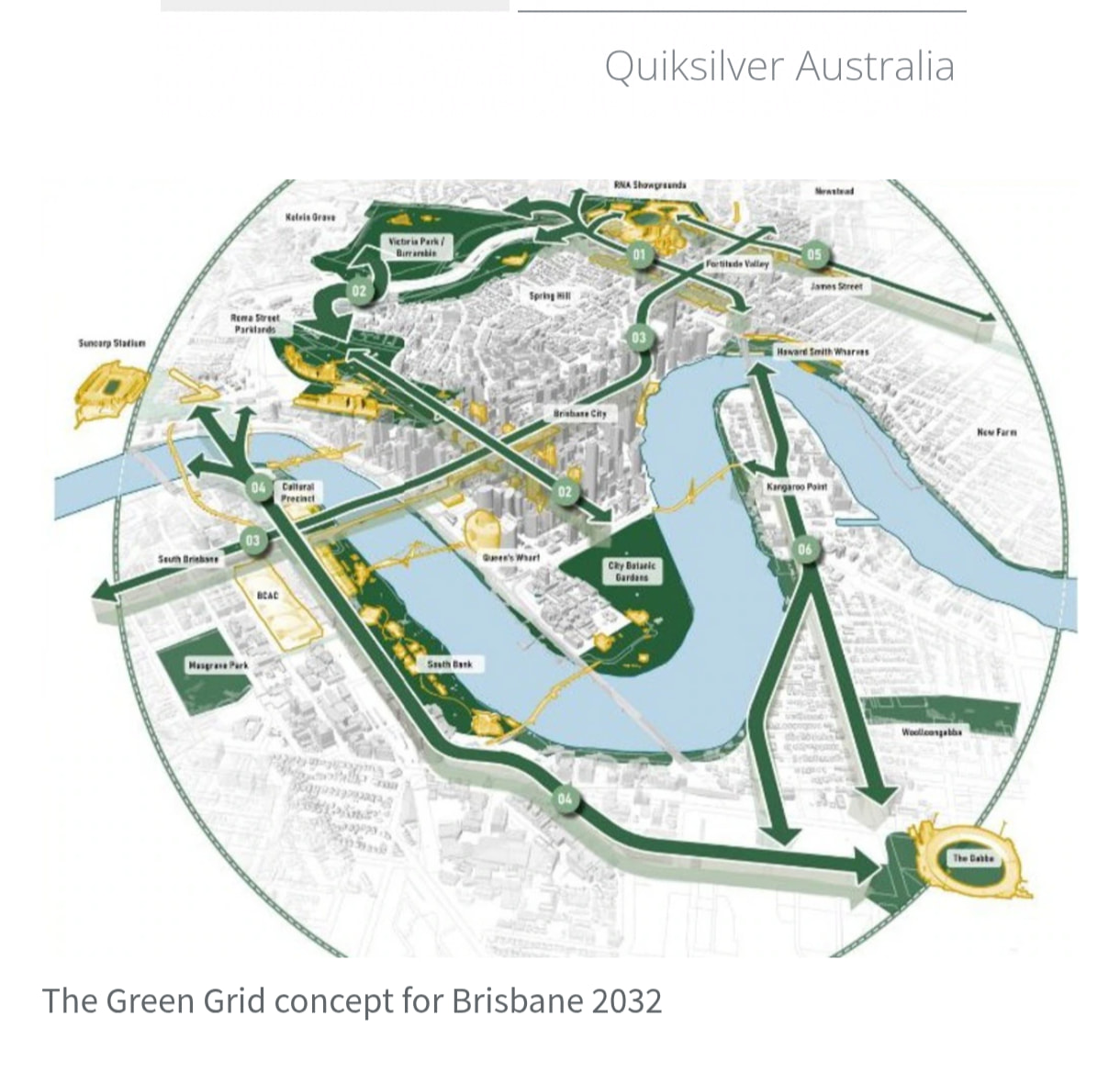
Architects reveal ‘Green Grid’ plan to connect Brisbane 2032 venues
Six strategic projects would create a Green Grid across the city and improve parks, creeks, green space, footpaths and cycle ways.
“This would support recreation, biodiversity and waterway health for the region, and
provide a lasting legacy for all Queenslanders by providing an integrated network that
combines into our own Olympic Forest,” the report notes.
Green footpaths on Brunswick St would link Fortitude Valley and the Herston hospital precinct, and then link the main Brisbane Olympic stadium at Victoria Park to Roma Street Parkland.
It’s paywalled.
Story bridge still absymal on the north end…. Ban cars from using them and itll be better to get around !
That’s an old proposal (the CM article is dated Novermber 2025, but I’m sure I read about it even before then). It was really envisioned for when the main stadium was intended to be the Gabba - hence why the Gabba Stadium is shown in that graphic, but a Victoria Park Stadium and Aquatic Centre are not.
Large portions of that grid are already largely pedestrianised - Melbourne Street/Victoria Bridge/Queen Street Mall from Grey Street to Edward Street, large portions of Albert Street between Turbot Street and Mary Street, while others parts are already quite ‘green’ like much of Grey Street through South Bank.
Yep, they have republished and reclassified it in ‘Future Qld’ just the other day.
Nothing in the Valley as yet though.
Originally it was just Albert Street and Grey Street to the Gabba, but now it’s been expanded to a Green Grid  which is understandable considering improved access to Vic Park and the Olympic Village from the Valley is now needed.
Yes, we are not allowed to republish articles anymore due to copyright, hence only main points and snippets now.