Express tracks on the outside with a centre island for all-stops only. Interesting.
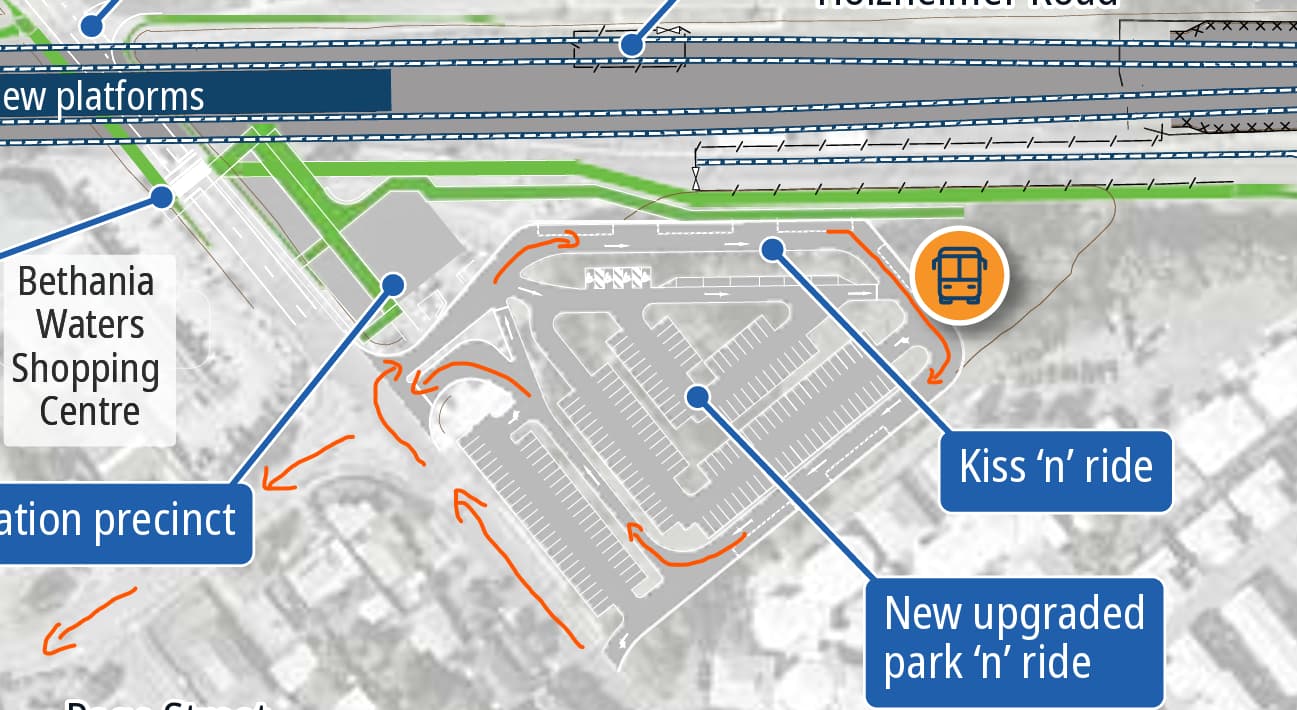
The September newsletter seemingly puts the bus stops at the back end of the parking / kiss-and-ride. I wonder why not just put them on Station Rd (next to the priority crossing)? Is it that all the routes in the area have the station as a terminus anyway / that’s how it is today?
edit: also, this is presumably RIP to any dreams of extending the line out of Bethania again.
It looks like they are retaining the wye, so never say never, but as most of the line to Logan Village has been ripped up for a rail trail it was probably unlikely to begin with.
Poor location for the bus stops agreed. Hopefully they will listen to feedback and locate the bus stops in a more directly accessible location. There seems to be better options.
I would encourage members to leave feedback regarding the current placement during the consultation process. There should be bus stops built for through running services directly on the main road, and some terminus stops close by.
The bus stop(s) need to be closer to the station entrance and weather protected (and definitely at the expense of all that kiss-and-ride space), but I’m not at all concerned about bus stops not being on Station Road. There isn’t a lot happening on the northern side of the railway (and not much scope to do anything further), so I don’t see any pressing need to send a bus across the line. This is definitely not a situation like Kallangur where that is needed.
Have given direct feedback. Overall it is a great outcome. Just get the bus stop(s) in a much better location. They can extend the park and ride in the area where they had the bus stop originally.
This basically reflects how the bus routes there run. Buses don’t go any further north of Bethania Station, because Station Road simply terminates 1.25km up from there. Instead, buses go from the Station/up Station Road and then onto Federation Drive, down Edinburgh Drive and either back to Station Road via Mathews Street, or go under Logan River Road to Palm Lake via Clarendon Avenue (some of these movements constitute occasional deviations - the routes around here really need standardising).
Having bus stops on Station Road would be of no benefit in this case - buses would probably continue into the bus station to turn around anyway.
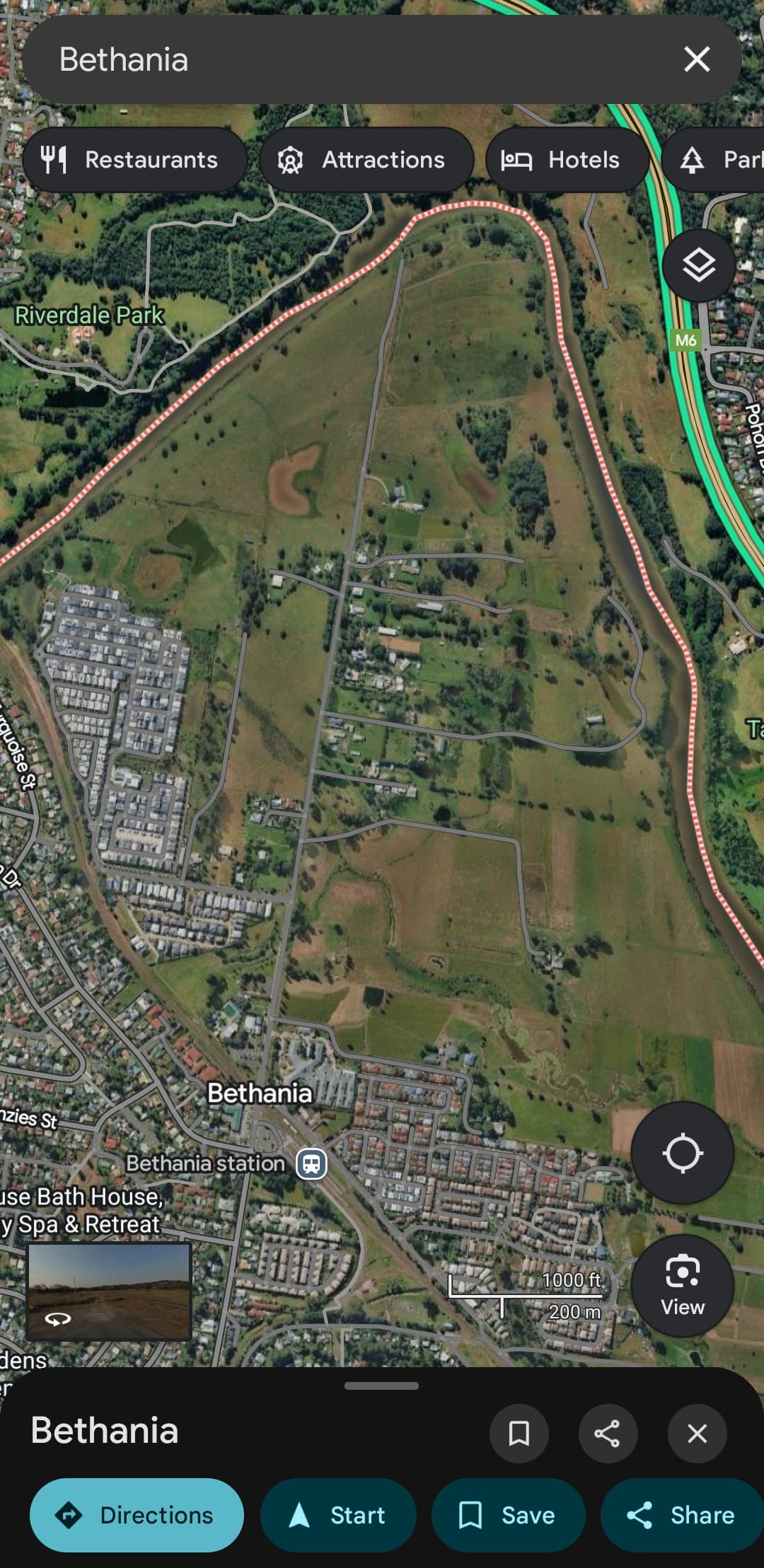
Just to clarify the above with a badly annotated screen capture, this is the route buses going via Bethania would take through the proposed station carpark:
Why is it that kiss n drive has a higher priority (more space allocated, closer to the station) than the bus interchange?
If it’s because they don’t trust drivers not to park in the bus bay, they should redesign the layout so that drivers aren’t given that opportunity.
Something worthwhile to give feedback on is the proposed pedestrian crossing of Station Rd.
The map indicates it will be a “raised priority crossing” (presumably a wombat crossing).
However, the text states there will be a “signalised pedestrian crossing”.
Given the volume of traffic north of Station Rd is not high, it’s hard to see why a signalised crossing is necessary here. Better that active travel users (travelling between the station and home/shops, or travelling further on the cycleway) have priority by default with a wombat crossing.
I suspect that the signalised crossing is at the intersection with Federation Drive (and the entry and exit to the new bus station/carpark), while the raised crossing is further north closer to the railway line - there is an existing pedestrian crossing point with refuse island between the station and the shopping centre - this is what will be replaced by the raised crossing I believe - the indicated location looks broadly the same.