You would think so, so long as they can work out how to keep the Springfield and Indro/Corinda trains on the suburbans all the way and manage to deal with the cross at Milton. Could probably do that with a total of 8tph in each direction.
I’ve been thinking through this for a bit, although I’m just a regular Joe Bloggs and not a transport planner, hence asking for thoughts.
I know that post CRR the Cleveland and Ferny Grove line will have an inner city track pair all to themselves, which feels like a really inefficient use of those tracks. But after reading those thoughts on the Springfield line, what do you think about this?
Running 8tph on the Cleveland line through South Bank and 8tph on the Springfield line which would make 16tph which is a train every 3-4 minutes. If the timetable was worked so the trains crossed around the junction near Roma Street (so 2 trains on the Cleveland line cross, then 2 trains on the Springfield line cross), would this be possible? If it was, it would allow a MUCH better use of the track pair through the CBD.
My thoughts were the following:
4tph either Manly or Cleveland to Ferny Grove (depending on reality of running 4tph through single track section all day reliably).
4tph either Cannon Hill or Boggo Road to Airport
4tph Springfield Central to Shorncliffe
4tph Corinda to Doomben (obviously would require minor upgrades on the Doomben line to allow this).
Would this be possible, especially with ETCS? If it was, then Ipswich/Rosewood trains would run on the other track pair and terminate at Bowen Hills.
Yes, maybe that would be possible, but it’s shifting the same problem to a different track pair, because you still have a level junction with train paths crossing each other and you still have to allow for freight, in this case coming over the Merivale Bridge (don’t know which line has more freight though).
The other issue is that Ipswich and Springfield trains would then leave from different platforms which is less than ideal.
1 Like
Yes that makes sense. Although I suspect most freight would go round the Exhibition look and onto the Ipswich track pair. From what I understand, freight only goes over the Merivale bridge when the Beenleigh/GC line is out of action, is that correct? I’m happy to be wrong there. There would, however, be issues with how the freight would get onto the Tennyson loop.
Nah, it regularly crosses the Merivale either in late morning or late night to either Acacia Ridge or the port.
1 Like
Really liking this series from the CRR team.
3 Likes
Noticed today glass walls on southern side of station installed maybe 50% of the wall
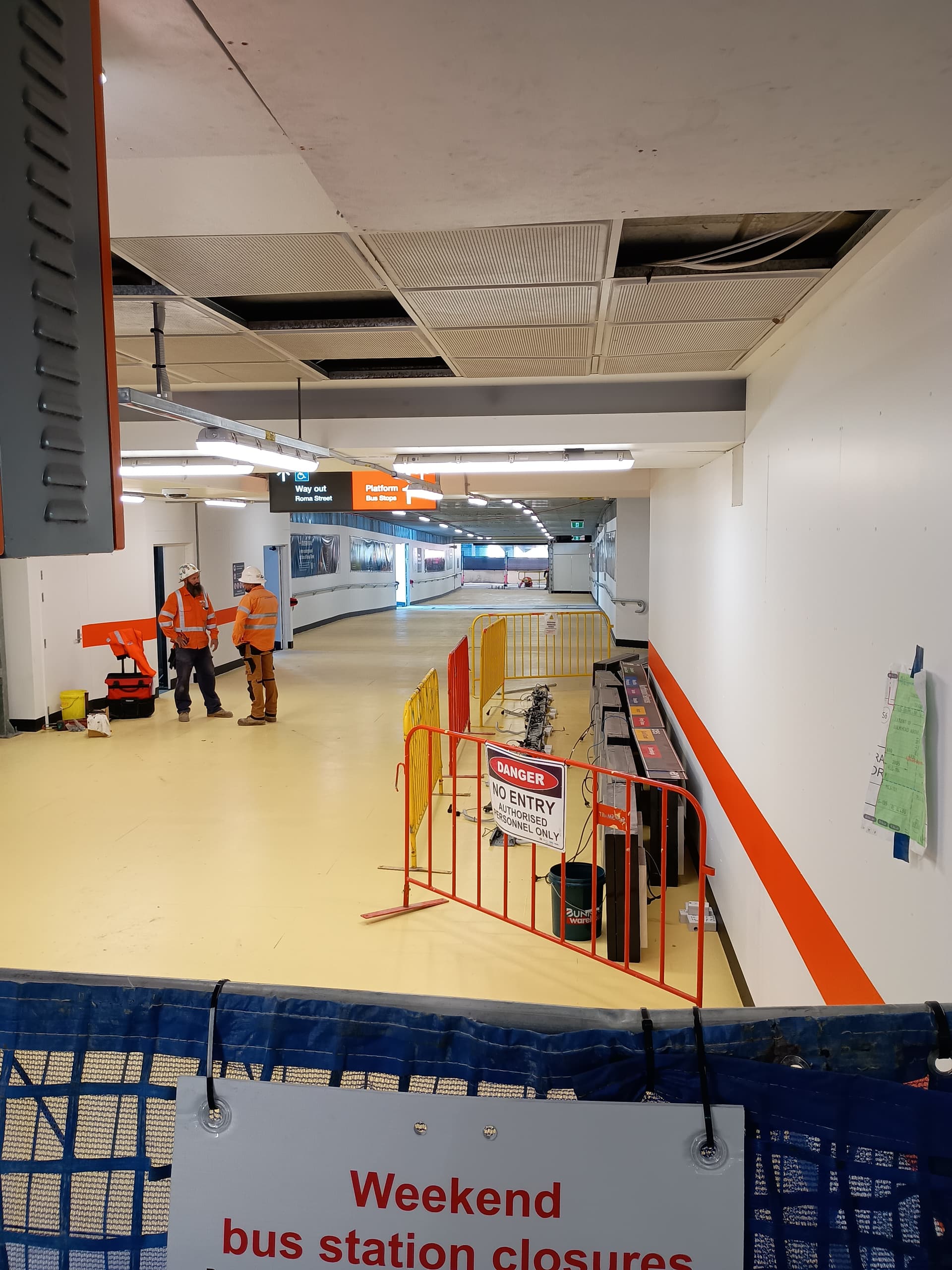
Im so glad. Will be a slightly shorter walk to Platform 1
7 Likes
I’d say post 2030 we really need to build a new rail corridor on the Northside for Sunshine Coast services and to detangle the network
3 Likes
Surprises in store for passengers at rebuilt train stations
Works will begin to make Hershel street permanently pedestrianised between Roma Street and George st in two weeks.
4 Likes
I remember talk of Albert becoming permanently pedestrianised all the way to the Botanical Gardens. Is that something that is happening or was that just another idea that was thrown out there with no intentions of actually doing it?
1 Like
As part of CRR, Albert Street will be pedestrianised between Elizabeth Street and Charlotte Street (with the exception of a small section off Elizabeth Street to oprovide access to the Royal Albert Apartments’ carpark), and between Charlotte Street & Mary Street.
There may be future extensions to this, but that is outside of the scope of CRR.
It’s a start at least. I reckon a pedestrianised corridor all the way to Roma Street would be awesome.
1 Like
I know there is a long term plan for this (although I’m not sure where you can find it), but CRR is only responsible for the sections mentioned above. The council is responsible for pedestrianising the rest of it, so who knows how long that will take.
1 Like
From memory the rest of it was part of the Connected Precincts Program, but I can’t find the specific commitment to any more than the CRR pedestrianisation - may have been in a different document or plan
I think it started in the City Centre Master Plan 2014, but the plan was more detailed in this plan from Council - https://www.brisbane.qld.gov.au/content/dam/brisbanecitycouncil/corpwebsite/building-and-planning/documents/albert-street-vision.pdf
1 Like
It looks like they’re beginning to spark the renovated stabling at Mayne Yard.
2 Likes
This week marks the closure of Hershel street and those annoying rideshare vehicles triggering the lights just for U turns back into the CBD.
It also makes people use Turbot st instead of Hershel, which is good.
2 Likes