All Beenleigh and Gold Coast Line Stations feature Platform 1 as the Down Platform, so the station renumbering matches that paradigm.
1 Like
Ackshually 

‘Up’ and ‘down’ directions in Queensland are individually defined for each line (ultimately because the state’s first rail line was in Ipswich, not Brisbane), so an ‘up’ train on the Beenleigh and Gold Coast lines refers to a train heading to Beenleigh/Varsity Lakes.
Here’s an excerpt from Wikipedia:
In the state of Queensland, “up” and “down” directions are individually defined for each line. Therefore, a train heading towards the main railway station in Brisbane (Roma Street station) would be classified as an “up” train on some lines but as a “down” train on other lines.
2 Likes
Then that’s just another example of why the Up and Down directions in SEQ are cooked, and really shouldn’t be used as a customer facing metric.
Up should be the direction towards the Capital City or Main interchange station.
2 Likes
In the context of public facing information, I don’t particularly care that it’s not toward Roma Street (when you’re south of Brisbane anyway, it is when you’re north). But it really bothers me that South is Up and North is Down when that’s the opposite of how you’d say that in real life.
UP on the Ipswich line is towards Ipswich. DOWN is towards Central.
2 Likes
This is another one that doesn’t really make much sense anymore except purely in a historical sense. The centre of rail in SEQ has long since migrated away from Ipswich. North Ipswich houses a largely neglected heritage fleet and still-closed museum campus, Redbank is a shadow of its former self and Wulkuraka isn’t of a scale to counter what has been lost.
2 Likes
Just remember all of these busway stations have “metro” services to them. People could easily get confused by heading to platform 2 at buranda train station for a metro service when they should be heading to the busway station. Having every platform be indiviually numbered solves this issue.
It also fixes the weird boggo road busway being properly numbered with buranda, south bank and roma street not properly doing the same.
7 Likes
RTBU QR staff have cheekily stuck posters on the toilet doors of stations affected by staff cuts with a QR code to the petition to reinstate staff to the station. First thing you see after failing to open a locked toilet door!
Well played, RTBU.
4 Likes
The up/down line terminology for the Ipswich line (i.e. UP away from Brisbane) continues all the way to Wallangarra. Passing loops through Clifton, Warwick etc. have the UP track on the points facing south (or west towards Goondiwindi), except where the loop is designated as a siding and there is only formally the running line (e.g. Stanthorpe). The lines north of Roma St tend to have the UP direction back towards Brisbane (including the suburban branch lines).
QRIG has a good description at Directional Running of Trains in QLD « qrig.org – queensland railway's interest group.
But in general I agree with the sentiment expressed by some people; for your average commuter, these designations are essentially irrelevant, and probably actually unnecessary sources of confusion.
We need to know them out in the provinces in case our DTC authorities include a requirement to use the wrong road (e.g. sometimes Watco parks grain hoppers or cattle carriages in the passing loop at Toolburra and we have to manually set and reset the points for wrong road running when heading back towards Warwick from the north and re-confirm this with the controller when complete).
1 Like
In other news, static preserved 1170 Class Number 1181 is leaving Herberton in Far North QLD and on its way to Warwick to join Southern Downs Steam Railway’s restoration projects.
5 Likes
Currently sitting at the Gabba and realised no change is proposed here. Possibly the rail platforms are to be 3 and 4?
3 Likes
What’s up at Lindum this evening?
All trains both inbound and outbound using platform 2
1 Like
This update contains a photo of the CRR platforms, numbered 1 and 2.
5 Likes
I hope don’t go through with that, it should be platforms 3 and 4, that is much more logical because I think that the main group of transfers will be people transferring to it from the busway. Platform numbering should not be based on prominence it should be based on how people use the infrastructure. Although even the other way round would be better than having the busway and train station platform numbers separate.
2 Likes
^^ The numbering matches the recent renumbering of South Bank and Buranda - the rail platforms are numbered 1-2/3, and the bus platforms 2/3-4/5. (Boggo Road is a bit different, due to having three components in an odd layout - its CRR Platforms will also be numbered 1 & 2)
Video about replacing the Roma St scissor diamond.
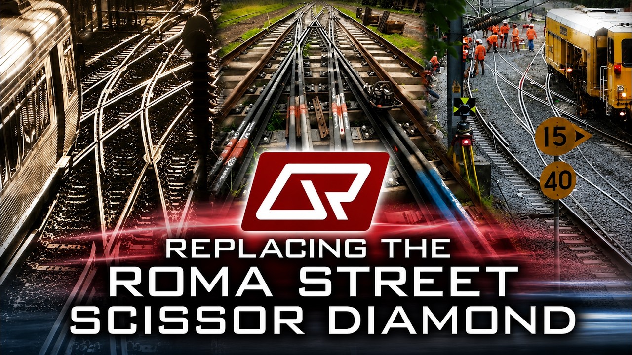
5 Likes
Looks like they’ve already updated the platform names in the database used by Go Card. All historical trips are changed.

1 Like
I thought Toowoomba was the epicentre of the entire QR network, so all trains heading in the direction towards Toowoomba would be considered UP trains. But turns out that railway directions as UP or DOWN is somewhat arbitrary. Then it makes the direction filtering all the more confusing for the live railway station timetables on Translink’s website.
Since the QR automated annoucements and PIDs label inbound trains as “The Brisbane City and … train, …”/“City & …”, then whatever data the announcements and PIDs use have the corridor from Roma Street station to just south of Bowen Hills station as the epicentre. Problem is, trains at stations from Roma St to Fortitude Valley would all be referred as DOWN/OUTBOUND services. Maybe southbound trains towards Roma Street and northbound trains towards Bowen Hills be considered UP/INBOUND, while southbound trains past Roma Street and northbound trains past Bowen Hills be considered DOWN/OUTBOUND. There must be a way to program the (UP/INBOUND)/(DOWN/OUTBOUND) designation.
After CRR, the (UP/INBOUND)/(DOWN/OUTBOUND) boundary stations of Roma Street and Bowen Hills would apply to Sector 2 and 3 trains, while Sector 1 trains would have Exhibition and Albert Street stations be the boundary stations.
TBH I’d classify Boggo Road for City stations in the same way whenever there’s track closures Northgate is grey on the PIDs
1 Like
It is somewhat arbitrary  . But with my experience in the last few years volunteering out in the single track provinces, I’ve also come to think of the UP and DOWN classifications as being related to the track/railroad itself.
For the Toolburra passing loop example I described earlier, the UP road is the western track and the DOWN road is the eastern track. QR run a tight ship in DTC territory and have a policy to generally require a new authority if needing to run a passing loop on the wrong road so they know when the points are being set and then have been released to the correct UP/DOWN setting.
2 Likes