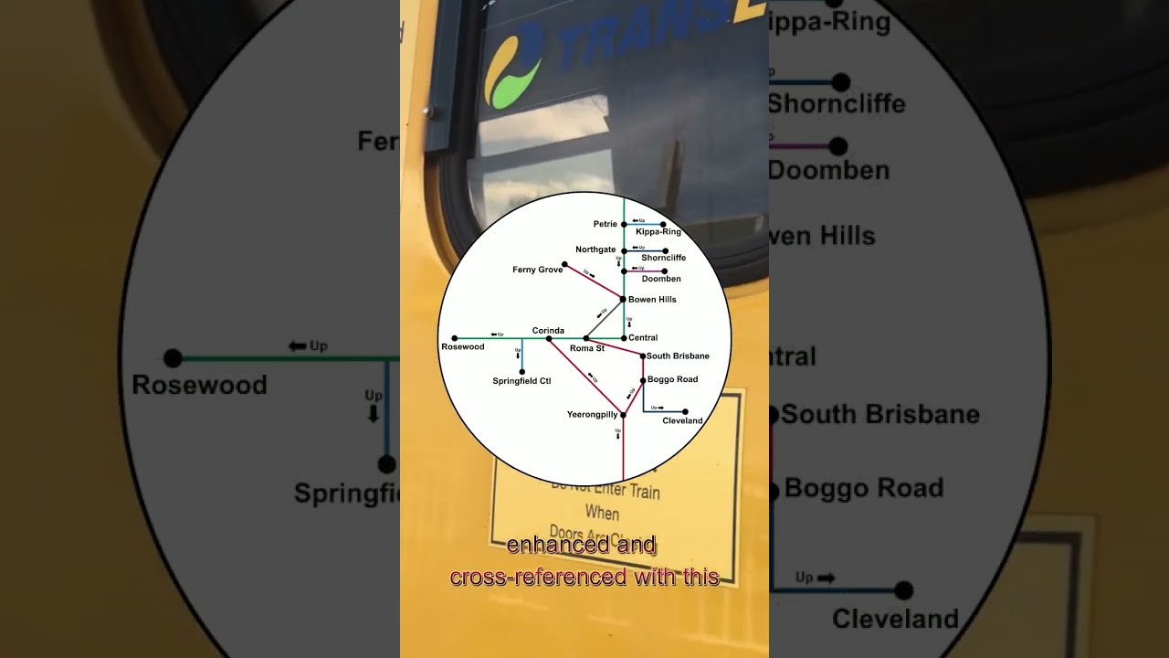
QR doesn’t consider the trains as entering the CBD unless the trains arrive at Roma St heading northbound or depart Bowen Hills heading southbound. Boggo Road, Wooloongabba, South Bank, and South Brisbane are considered as inner suburbs rather than the proper CBD area where the local street signs are blue instead of white (yes, street sign colour is the indication as to the location being considered as ‘Brisbane City’ or not).
Grey PIDs indicate that the terminus of the train is not unique to a single line. Northgate station is grey because it is served by the Shorncliffe, Redcliffe, and SC/Cabo trains. Milton trains are labelled as green because QR probably couldn’t be bothered include Springfield trains stopping at Milton station.
Based on what Sherooda says above, Woolloongabba will be seen as the same as Boggo Road to South Brisbane, being a south of the river station.
Exhibition could be interesting. Technically speaking, Exhibition is in Bowen Hills and could be seen in the name way (departing Exhibition means entering the CBD), but it does sit further south and is a bit more akin to Fortitude Valley is terms of location, especially when considering that this area of Spring Hill/Fortitude Valley/Bowen Hills/Herston will become a much bigger deal as we get closer to the Olympics.
Using the Blue vs White street signs metric, at the intersection of Gregory Terrace, Brunswick Street and Bowen Bridge Road all streets feature blue street signs. Going up Gregory Terrace towards the showgrounds, Anderson Street and Costin Street (opposite the RNA’s Royal Iinternational Convention Centre) feature blue signs, King Street features a white sign off Gregory Terrace but a blue one off St Pauls Terrace, while Alexandria Street and the little cross streets (Machinery, Carriage and Brewers) are all white. Take from that what you will.
I would count Exhibition station as the northern boundary station for Brisbane City for Sector 1 trains like Bowen Hills is for Sectors 2 and 3; southbound trains on Sector 1 would be entering the City upon departing Exhibition station.
Woolloongabba station would be a suburban station because it is on the southern bank of Brisbane River like South Brisbane, South Bank, and Boggo Road. Albert Street station would be the boundary station for Brisbane City, where northbound Sector 1 trains would be entering the City upon arriving at Albert Street station.
Going back to the whole UP/DOWN thing, have you ever noticed how the automated announcements at stations have one of two different chimes at the start? For UP trains, the chime goes low-high, and for DOWN trains it’s high-low, kinda like the directions of the trains themselves. I used to think it was used for in- and outbound respectively, but that’s only because I live on the northside. Then one day I was at South Brisbane/Bank or Toowong or something and heard the automated announcements there and pieced it together that it was actually for UP and DOWN trains. Take a listen for yourself next time you’re at a station.
On the GC stations the low tone chime is for trains going to Brisbane, and the high one is for Varsity Lakes.
I find that small audible cue to be one the most clever ways to tell passengers that a certain train is coming soon. The rest of rail systems in Australia either use the same chime for everything (Sydney and Melbourne come to mind), or do nothing.
This YT video shows the difference between them. When I was living in Booval, I did notice there were two different chimes depending on which platform I used, but never considered there was a meaning behind them. Very cool.
There’s also a very rare third chime which is sort of an alternating high/low that’s used for automated announcements of delays/incidents. Only heard it twice in 7+ years of commuting.
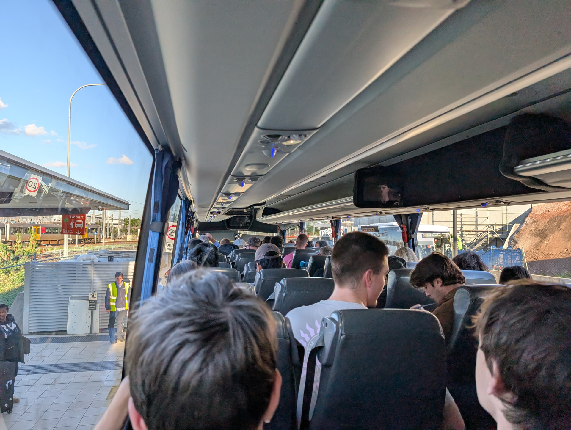
Caught the railbus down to Surfers this evening to meet family at Seafire.
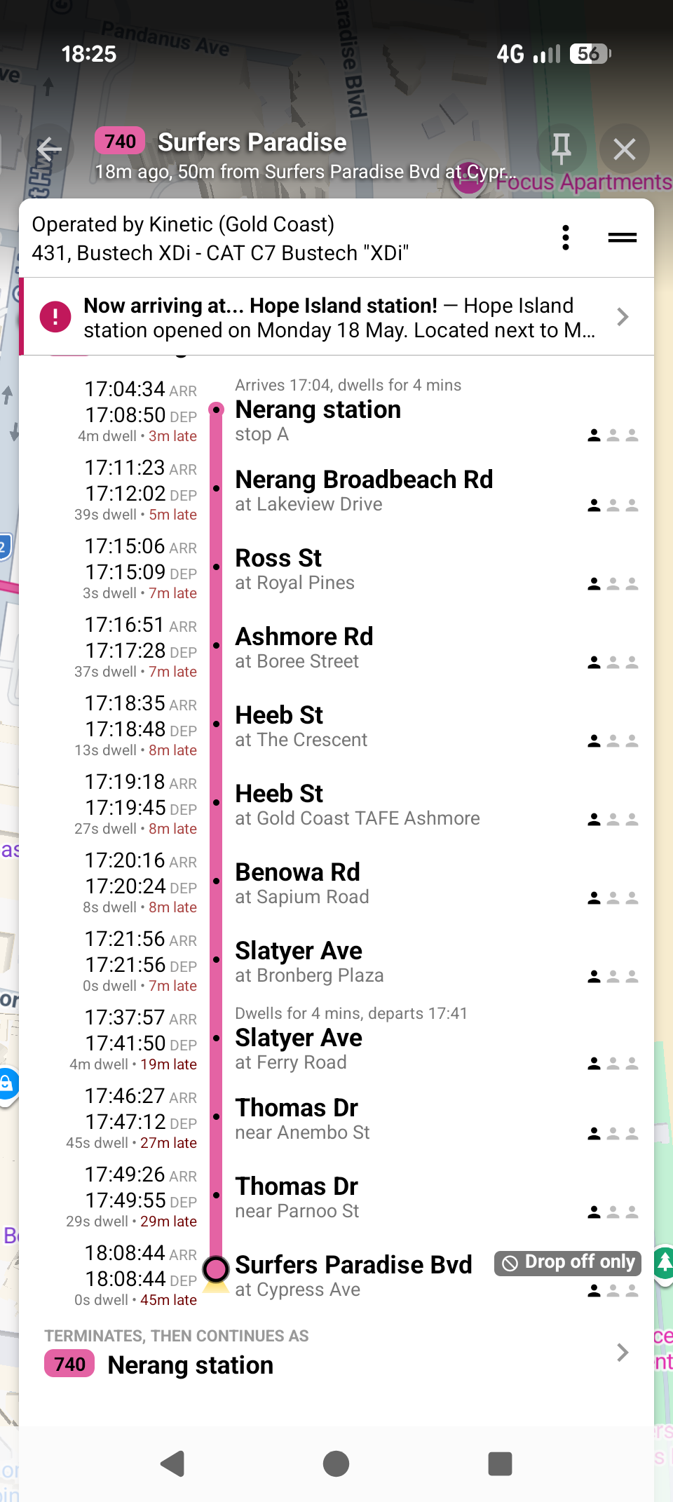
I made the mistake of catching route 740 instead of G:Link. Despite the 35 min arrival buffer I completely missed the 6pm fireworks.
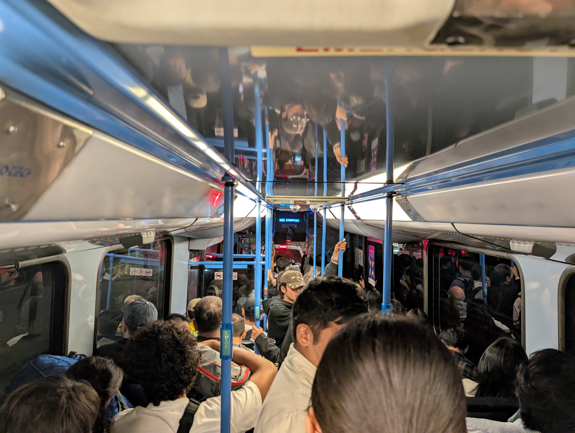
My 740 trip was standing the length of the bus out of Nerang, set-down only from about half way and we lost 45 min enroute in traffic. You’d think we’d learn by now that it makes sense to prioritise buses carrying 70 odd passengers over private vehicles.
Probably not helped by there being an NRL match on at Robina this afternoon as well. Weirdly, lots of extra shuttle buses for the footy, none for Seafire, just an increase in trams to every 7.5 minutes. Thought they might at least put on extra 740s and maybe 705s as well.
Did anybody notice this one from March this year? I thought this was the page for the yards delivered as part of the NGR procurement works, but on looking now it turns out not.
That’s going to be a lot of Sector 1 stabling when combined with Beerwah (~6HA of land, delivered with Stage 1 of The Wave) and Birtinya (to be delivered with stage 2, presumably still on the cards) as well as the huge new facility at Ormeau.
It’s not such a far fetched idea, I would not rule out these works being an enabler for Caboolture yard being closed post-CRR…
Big expansion happening at Elimbah just 6km away
Another large new facility about to be built at Beerwah 25km away
Reduced need for stabling as less services will terminate at Caboolture once The Wave is open.
Increased land demand, Caboolture will eventually become a major interchange with a 70,000 population housing estate (more like a small city) being built to the west which the existing bus interchange cannot handle.
I could very easily see a major expansion at Caboolture being necessary in the next decade or two with a potential terminus for a local Moreton Bay BRT system linking to Waraba.